Bowie, Texas  ·  33.5590° N, 97.8486° W

The engineer and the surveyor
work down the hall from each other.

Most projects need both. Most towns make you hire twice. We've kept a licensed Professional Engineer and a Registered Professional Land Surveyor under the same roof in Montague County since 2003.

Why that matters

When your surveyor and your engineer are two different firms, you are the one carrying drawings between them. Boundary comes back late. The grading plan gets drawn off the wrong line. Somebody has to eat the change order.

Here, the boundary work and the design work happen in the same building, off the same field data, checked by people who talk to each other before there's a problem. That's not a sales pitch. It's just how the office is laid out.

Reviewing a design set with red pens
Markup on a site plan set, Bowie office

Two disciplines, one office

Fifteen services. Call about any of them, or call and describe the problem — that works too.

Surveying

  • Oil and Gas SurveysWell locations, pad sites, pipeline routes, and lease boundaries.
  • Land and Boundary SurveysWhere your property actually ends — documented and defensible.
  • MappingTopographic and planimetric mapping built for the work that follows.
  • PlattingSubdivision plats prepared to city and county standards.
  • Right-of-Way DeterminationEasements and ROW research for roads, utilities, and pipelines.
  • Construction StakingGrade, offset, and layout staking so crews build to the plan.
  • GPS SurveyingRTK and static control for large tracts and remote sites.

Engineering

  • Site DevelopmentGrading, layout, and utilities from raw dirt to a buildable pad.
  • Roadway DesignCounty roads, subdivision streets, and access drives.
  • Water and Sewer DesignDistribution, collection, and lift stations sized to the demand.
  • Drainage DesignDetention, culverts, and drainage studies that hold up to review.
  • Feasibility StudiesFind out what a site will cost you before you own the problem.
  • Park and Trail DesignPublic space design for cities and civic projects.
  • Construction ManagementSomeone watching the build who read the plans first.
  • Special Services and ScanningDocument scanning, exhibits, and one-off technical work.

Recent sets

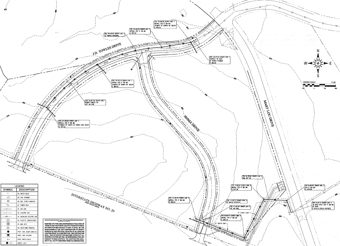
Plans that got built

Site planKingdom RidgeOpen PDF →Site planCrown PointOpen PDF →Site planUnited StorageOpen PDF →SketchAccess RoadOpen PDF →

Montague County

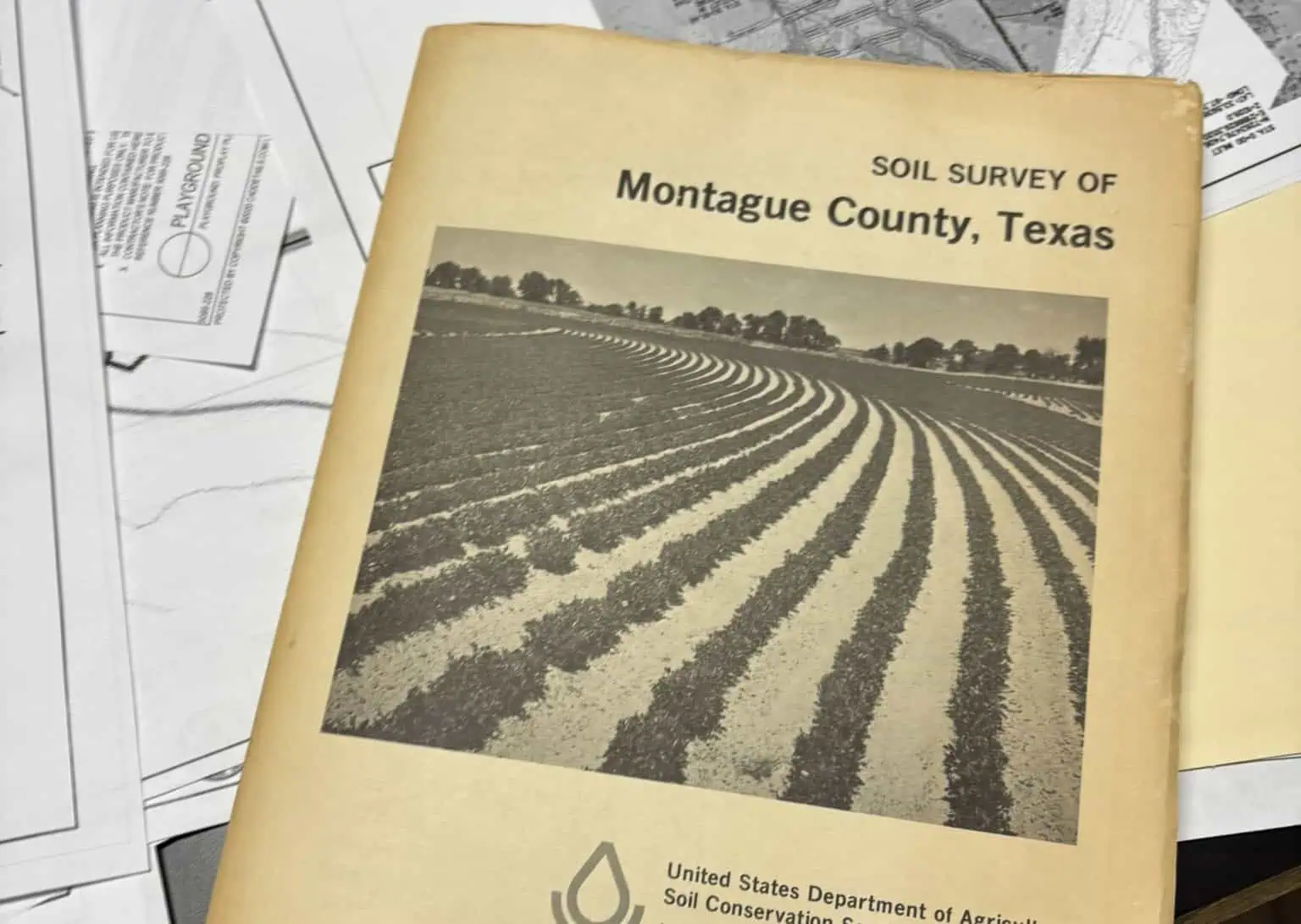
We've got the old soil survey on the desk, not in a box.

Over two decades of plats, field notes, and county records for this part of Texas — and the institutional memory of who moved which fence and when. If your tract has a history, there's a fair chance it's already in our files.

Tell us about the project

Give it a name and we'll pick it up from there. Takes about a minute.

Boundary survey, site plan, drainage study — whatever you're calling it.

or just call
940-872-5075

Handy to have

  • County and approximate acreage
  • A deed or existing plat, if you've got one
  • What the land is going to become
  • Any deadline you're working against

Don't have all that? Call anyway. We'll figure out what's missing.
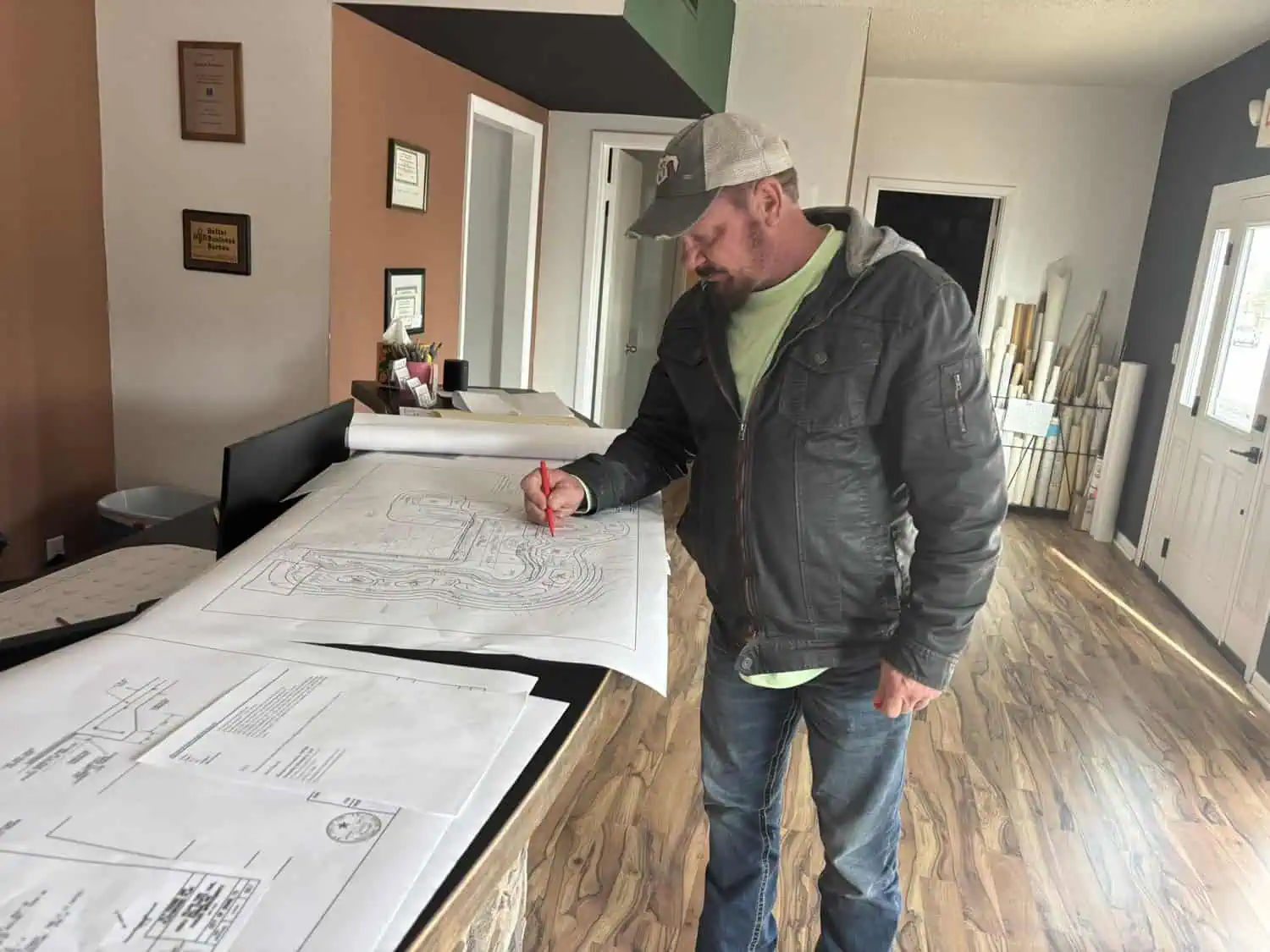
Jason Swaim reviewing design diagrams
“Details matter.”- Jason G. Swaim, P.E., R.P.L.S.